News Summary
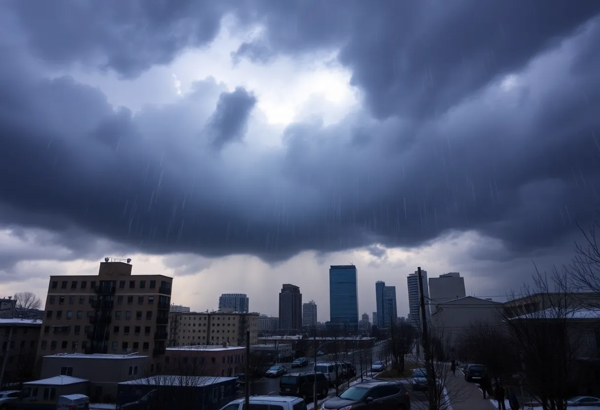
Residents across the Central and Eastern U.S., particularly in Florida, are preparing for back-to-back winter storms that will bring significant rainfall and possible severe weather. The storms are expected to start affecting travel early this week, with Pensacola bracing for rain as temperatures cool down. Emergency measures are in place due to potential tornadoes and widespread power outages, which have already begun to affect thousands. Stay informed as weather conditions shift and travel disruptions arise.
Severe Weather Alert: Back-to-Back Winter Storms Set to Hit the Central and Eastern U.S.
As the week kicks off, residents of Pensacola, Florida and neighboring areas are bracing for a wild ride as back-to-back winter storms are poised to sweep across the central and eastern regions of the United States. This unusual weather event comes as a surprise to many, especially considering the unseasonably warm February temperatures that have been hanging around.
Florida to Get a Dose of Winter Weather
The storms will eventually swing into Florida, with the Panhandle likely to see the most severe weather. Forecasts suggest that parts of Florida could receive anywhere from 1 to 3 inches of rain, bringing much-needed relief from the heat. Pensacola can expect to see the first signs of rain as early as Tuesday morning, with a slight 20% chance of showers popping up after 3 a.m.
Storm Progression and Travel Disruptions
The first storm will begin making an appearance in states like Kansas, Oklahoma, and Texas Monday night. It is expected to make its way eastward, reaching the eastern coastal areas by Tuesday. Travel impacts are predicted to be significant, especially for major cities, as the storm pushes through late Tuesday into Tuesday night. If you’re planning to travel, you might want to rethink your plans or prepare for some delays!
What’s on the Horizon for Pensacola?
Following the first wave, residents can expect an additional round of severe weather on Thursday, along with a few showers on Friday. If that isn’t enough, more thunderstorms are forecasted for Saturday. The National Weather Service has indicated that, although severe weather may hit on Wednesday night, impacts in Florida are expected to be minimal. However, weather conditions, including deep-layer shear, could lead to the organization of strong storms, especially west of the Alabama River.
Past Weather Disruptions
Tornado Watches and Storm Damage
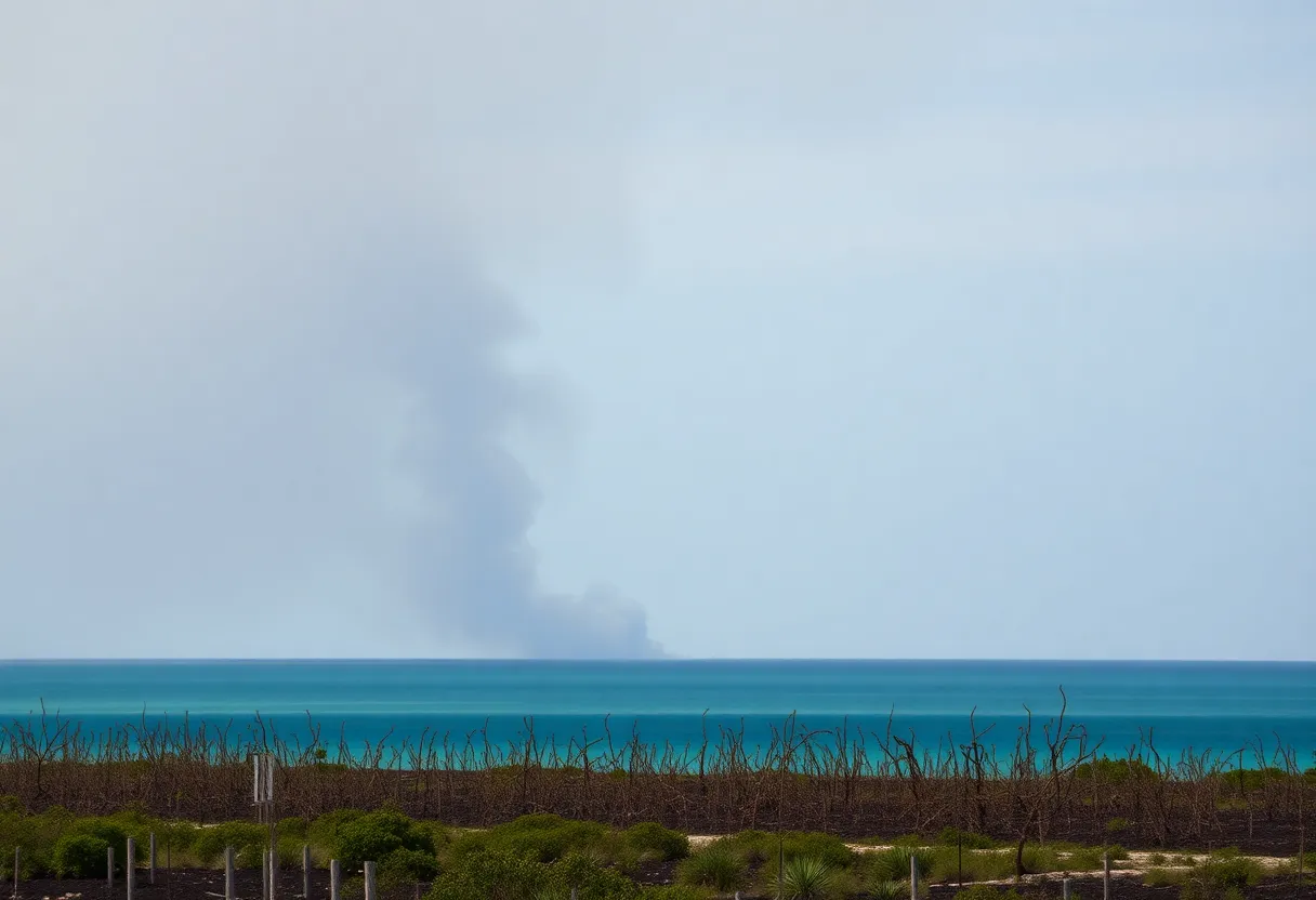
The National Weather Service confirmed at least eight tornadoes across Texas, Oklahoma, and Louisiana, some classified with EF ratings ranging from EF-0 to EF-1. Oklahoma alone reported five confirmed tornadoes, and residents of Louisiana faced two more, with winds reaching up to 90 mph for one of them.
General Precautions and Safety Measures
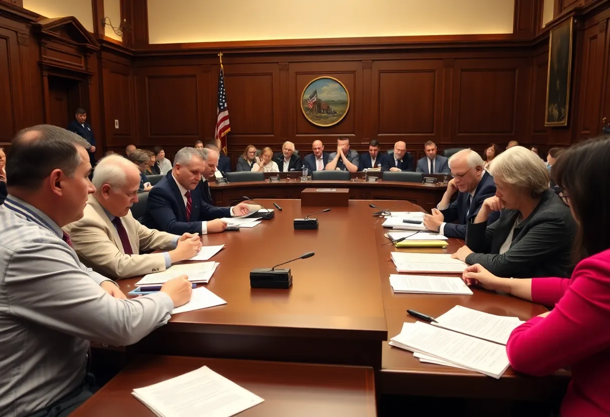
In preparation for the impending storms, Florida has already seen about 18,000 power outages. Emergency preparations have been initiated, including setting up cold weather shelters to help those in need. Governor DeSantis has declared a state of emergency, underscoring the significance of being prepared as conditions worsen.
Travel Mayhem and Impact on Airports
Keep an Eye on the Weather
Deeper Dive: News & Info About This Topic
- PNJ: Winter Storm Florida Impact
- Wikipedia: Winter Storm
- MSN: Winter Storm Live Warnings
- Google Search: Winter Storm Florida
- USA Today: Winter Storm Forecast Updates
- Encyclopedia Britannica: Winter Storms
- Florida Governor’s Office: Winter Weather System Updates
- Google News: Winter Storm 2025